There’s a reason Apple CEO Tim Cook is excited about AR. Not only is Apple’s long-rumored AR/VR headset (dubbed “Reality Pro”) set to be unveiled later this year, but already, Apple’s frameworks make it possible for third-party apps to deliver impressive AR-powered features to our iPhones.
But what can you do with AR? It turns out, quite a lot. One of the best use-cases in our opinion is for navigation – not just navigating your way along city streets, but also finding your way in the great outdoors.
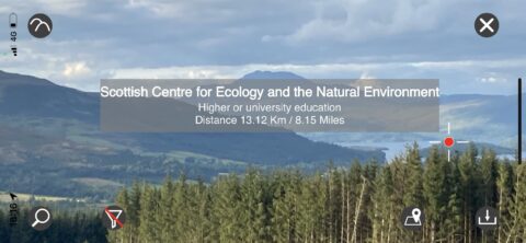
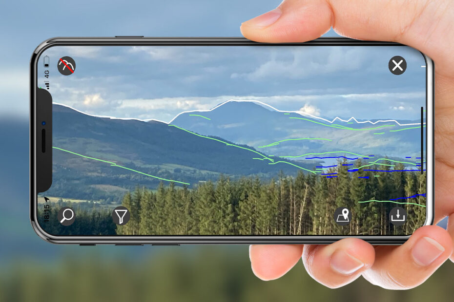
Two apps – ViewScanner (which is UK-based) and PeakFinder (which is available internationally) – make it possible for folks to point their iPhone on a hike and find out information about their surroundings, including directions and nearby points-of-interest, using AR. This means that while looking at a still image or at a live one, through your handset’s viewfinder, data will “augment” the reality you’re seeing in meaningful and helpful ways.

There’s a lot of data on offer in ViewScanner, but only for UK users.
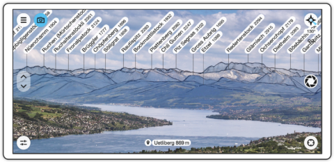
For the more comprehensive ViewScanner, this means details including towns, villages, lakes, and forests will pop-up on screen, while in PeakFinder, the data presented is limited to the names of hills, mountains, and other peaks.
While the apps’ features as slightly different, the way each functions is different, too. In ViewScanner, users need to snap a picture and align it with the horizon in order for the app to overlay data.
In PeakFinder, folks can simply point their iPhone at the horizon and the app adds data in real-time, offering a more immersive AR experience.

PeakFinder’s comprehensive AR at work.
What’s even better is that both apps work offline, meaning you won’t need a cellular network in order to access the data each offers. For anyone who’s been out in the wilderness, you’ll know how rare even a patchy 3G signal can be!
Depending on where you hike, ViewScanner and PeakFinder are undoubtedly apps to have loaded on your iPhone – and even added to a “Hiking” Focus Mode Home screen. While ViewScanner is available on the UK App Store for £4, PeakFinder is available internationally for $5 / £5.

